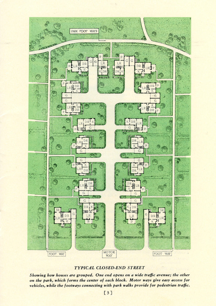
Map of Radburn, New Jersey. This map reads "Typical Closed-End Street. Showing how houses are grouped, one end opens a wide traffic avenue; the other on the park, which forms the center of each block. Motor ways give access for vehicles, while the footways connecting with park walks provide for pedestrian traffic."

Download this image

Creator
N/A
Date
Unknown
Repository
Rockefeller Archive Center

Russell Sage Foundation. City Housing Corporation. Box 37. Folder 309 Radburn Garden Homes. RAC.

Rights clearance resides with the user.